New Mexico wildfire map: Track Ruidoso area fires as responders work to contain them
Click here to see live updates on the New Mexico wildfires.
Emergency responders are working to contain the two wildfires that prompted evacuations in southern New Mexico.
As of Tuesday, June 25, the Salt Fire and the South Fork Fire had spread over 25,500 acres:
South Fork Fire: 17,556 acres; containment: 54%.
Salt Fire: 7,947 acres; containment: 38%.
New Mexico wildfire map and smoke tracker
The fire tracker provides a map with pinpoint locations of each fire and shows where red flag warnings are in effect, among other information. You can also click on each point to see detailed information on the fire in that area.
If you can't see the map above, click on this link.
SEE: Photos of South Fork Fire
View more: South Fork Fire continues to burn near Ruidoso. Here's what the fire looks like in NM
New Mexico communities ordered to evacuate
The Village of Ruidoso, with a population of nearly 8,000, was placed under mandatory evacuation orders on June 18 as the wildfires rapidly spread and have caused property damage. However, full-time residents have been allowed to return to the area with a week's worth of food and drinking water. The village warned some homes may not have utilities, and a boil water advisory was put into effect Saturday, June 22
Two deaths have been reported and over 23,000 structures have been affected. Portions of US Highway 70 and US Highway 48 have remained closed.
Tribal members who have been displaced outside of the Mescalero Apache Reservation due to the fires may contact the Tribe’s Emergency Operations Center (EOC) for assistance returning to the reservation. If stranded out of town at other evacuation sites, members may call the EOC at 575-464-9214 for more details.
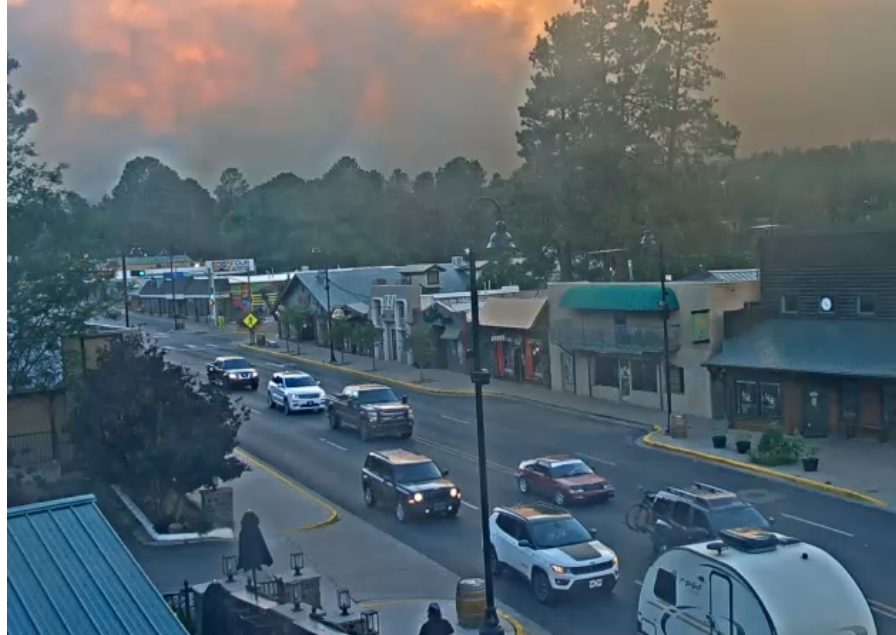
Ruidoso live webcams: See the fires in real-time
These live views from Ruidoso are courtesy of ruidoso.net. Additional webcams are available here.
This article originally appeared on Austin American-Statesman: New Mexico wildfire map: Track Salt Fire, South Fork Fire in real-time

